Redevelopment of the centre of Hesperange
| location | Hesperange / Luxembourg |
| realisation | Wettbewerb 2005 |
| client | Administration Communale de Hesperange |
| project team | Françoise Bruck, Thomas Weckerle, Beatrix Maier, Véronique Schneider |
| award | 1. Preis |
| photographer | BWA |
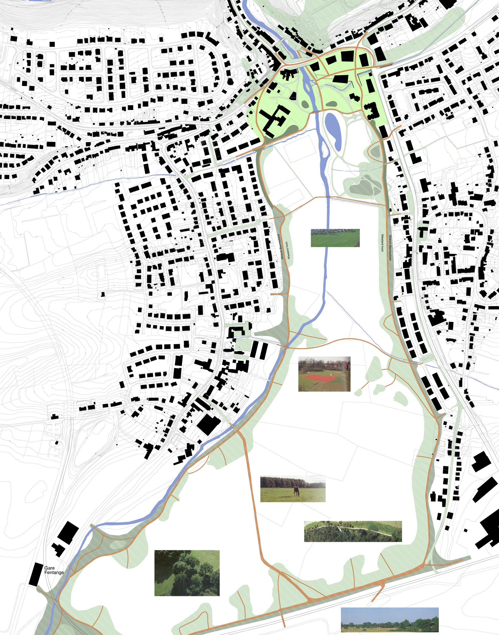
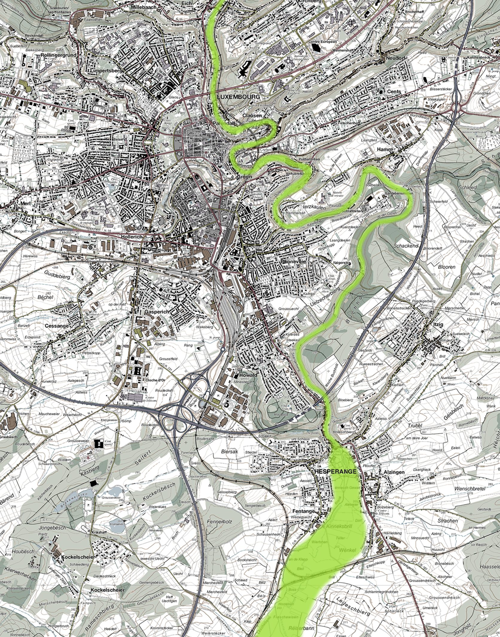
Hesperange stands out from other towns in the agglomeration because of its unique topography and its location in an important recreational area. The Alzette floodplain ends here and becomes a narrow valley at the point where a bridge has stood for centuries. This recreational space continues uninterrupted into the historic centre of Luxembourg City.
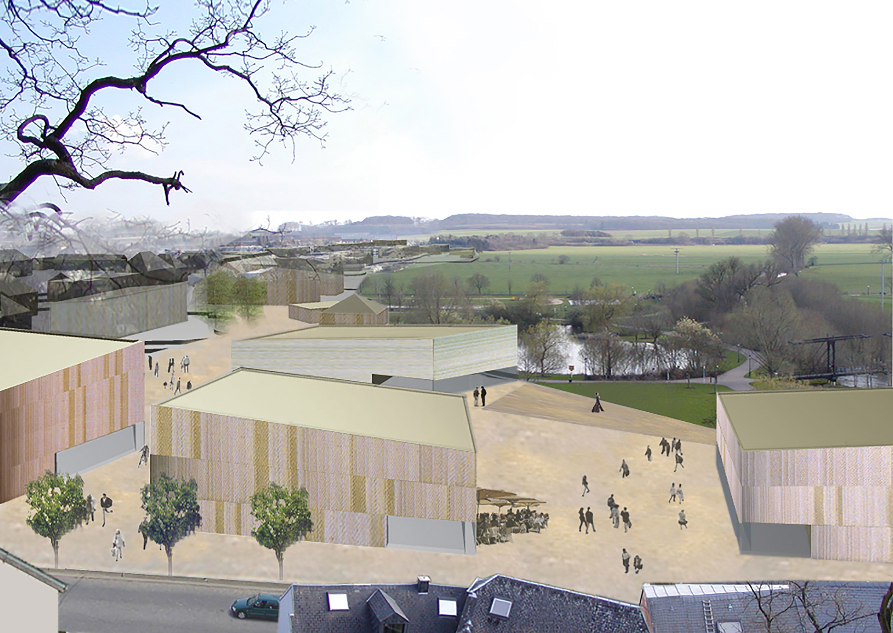
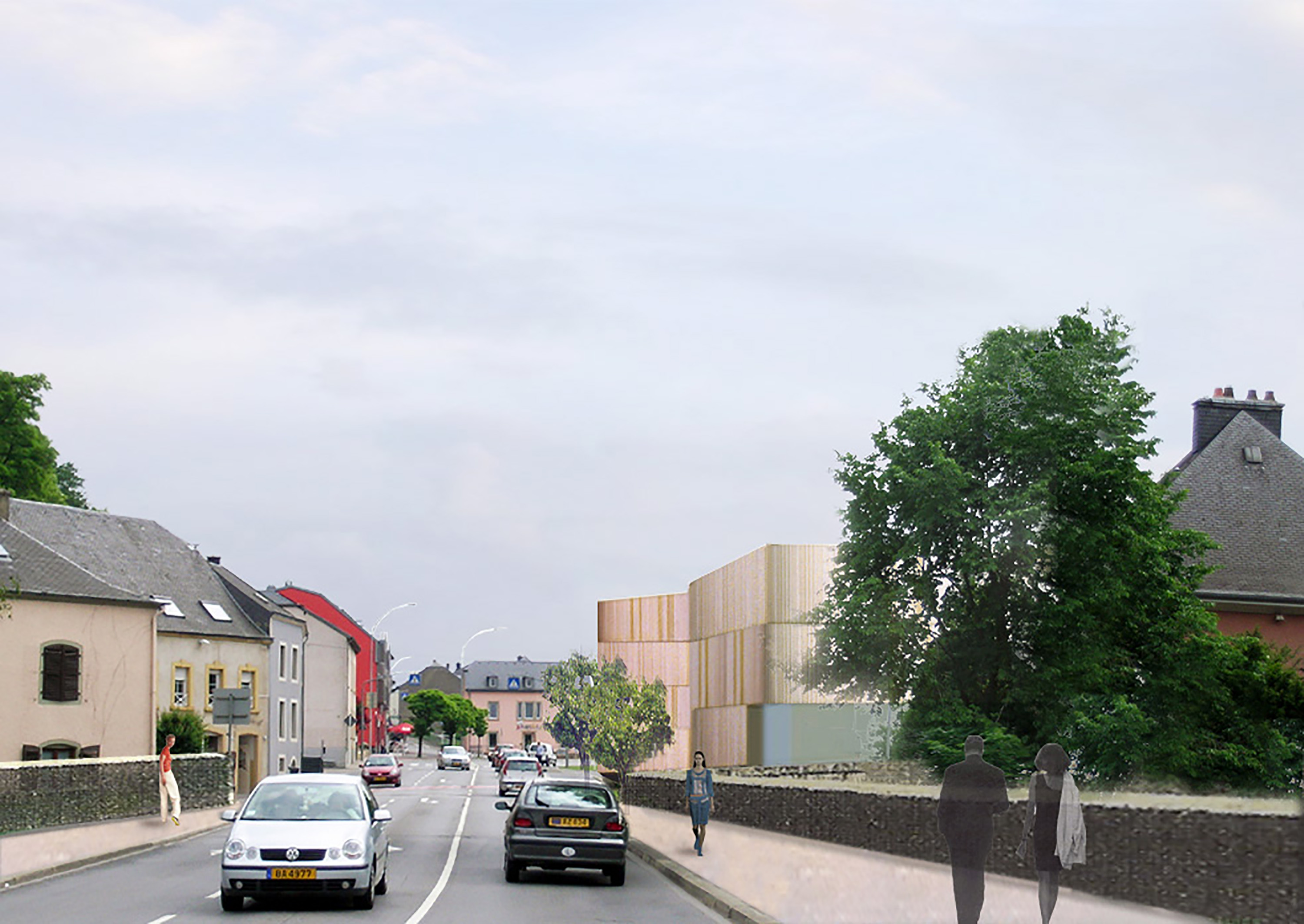
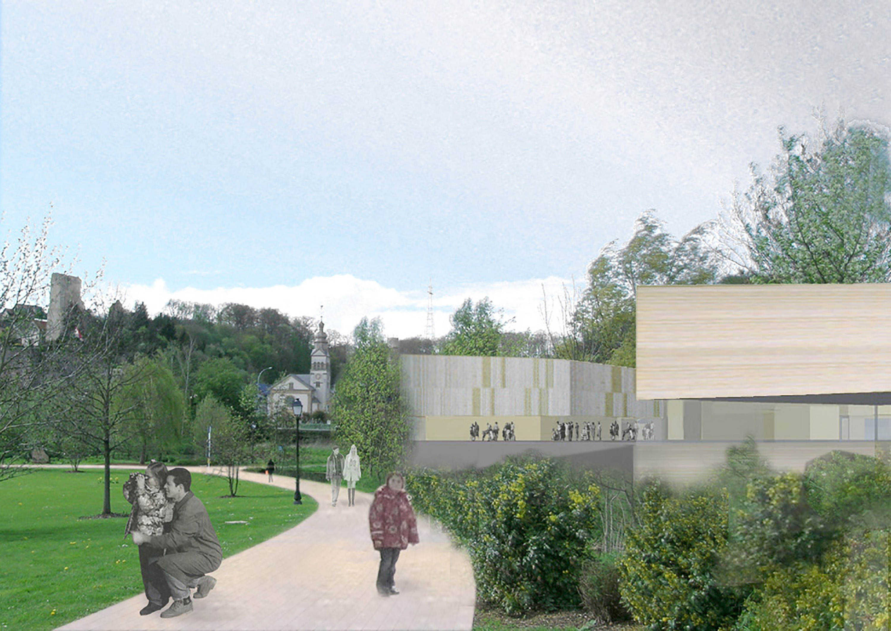
The project improves and enhances the link between landscape and built space. The existing park in front of the town hall is placed in a larger context and made experienceable via a simple path system.
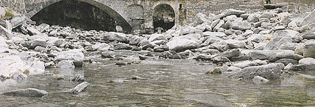
The existing urban situation at the end of the Roeserbann is interpreted like alluvial deposits of stone. The public buildings (town hall, school, church) stand out from the dense development of Alzingen and along the spatial edges (Holleschbierg, Um Schlass).
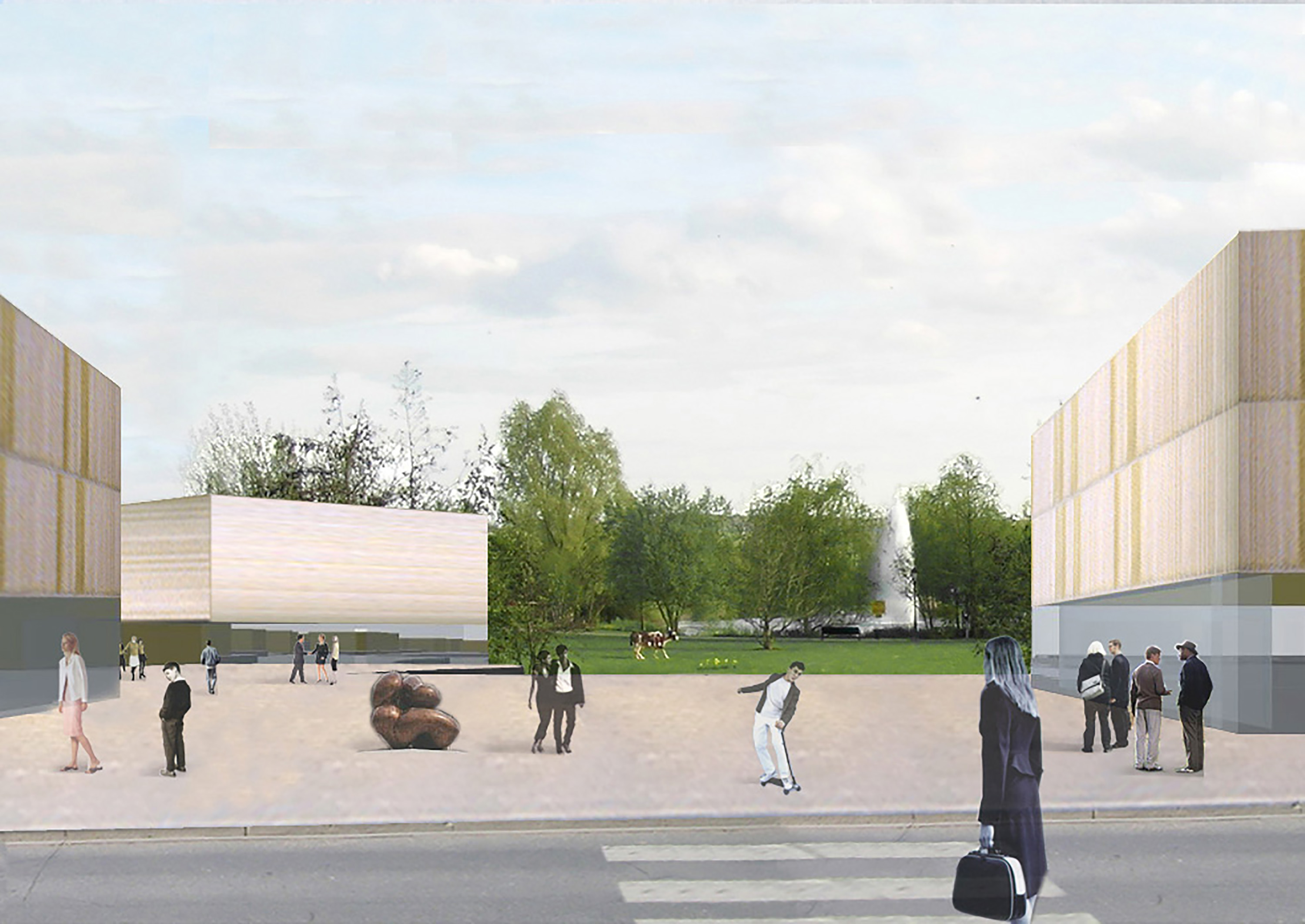
The image of washed-up stones serves as a scenario for the densification and creation of a new centre of Hesperange. It enables a spatial link between the street space and the park. At the same time, glimpses into the park, which are occasional in the current situation, are further thematised. The prominent places of Hesperange – church square, town hall, school, Itziger Eck, sports centre – are connected to each other and to the park by a network of footpaths.
